
Imagine a stone's throw away from the New Hampshire coast, approximately 31 miles to be exact, and you'll find the underwater plateau known as Jeffreys Ledge.
As you ponder this geological wonder, questions about its origins, marine life, and conservation efforts might start to swirl in your mind.
Why should you care about this submerged rock formation? Well, beyond its importance as a marine habitat, it has a fascinating history and unique features that might surprise you.
Stay with us as we navigate the waters of this intriguing topic, and you may just find that there's a lot more to Jeffreys Ledge than meets the eye.
Key Takeaways
- Jeffreys Ledge is located approximately 31 miles off the New Hampshire coast and stretches over 100 km along a north-northeast to south-southwest axis.
- The marine ecosystem at Jeffreys Ledge is characterized by diverse marine life including cod, haddock, wolffish, and lobsters, and unique bottom characteristics such as rocky areas, gravel, pebbles, and mud.
- Conservation efforts led by the National Marine Fisheries Service and University of New Hampshire focus on preserving abundant fish species through sustainable fishing practices and habitat conservation, with the WGOM Closure area safeguarding groundfish stocks and habitat.
- Jeffreys Ledge plays a significant role in marine research due to its rich biodiversity and impact on the fishing industry, with ongoing studies contributing to understanding the effect of the WGOM closure in protecting groundfish stocks and habitat.
Understanding Jeffreys Ledge
Although Jeffreys Ledge is approximately 50 km off the New Hampshire coast, its vast expanse stretches over 100 km along a north-northeast to south-southwest axis, revealing a complex history shaped by fluvial erosion, glaciations, sea-level fluctuations, and marine processes. This underwater mountain range, as you could call it, rises up to 150 m from adjacent basins and boasts a width varying between 5 to 10 km, even reaching a maximum of 20 km in parts.
You see, Jeffreys Ledge isn't just a geographical feature; it's a testament to Earth's dynamic and ever-changing nature. The University of New Hampshire Center for Coastal and Ocean Mapping (CCOM) has conducted extensive research in this area, covering approximately 515 km². Their high-resolution bathymetry, surficial sediment maps, and interactive database studies have shed light on the intricate details of this colossal ledge.
If you're fascinated by this, you're not alone. Experts Larry Ward and Paul Johnson, both affiliated with the University of New Hampshire and specializing in coastal and ocean mapping, are your go-to contacts for diving even deeper into understanding the nuances of Jeffreys Ledge. Remember, you're part of an inquisitive community that shares your passion for unraveling Earth's mysteries.
Geographic Location Details
Now that you've explored the general characteristics and historical formation of Jeffreys Ledge, let's zero in on its precise geographic location and the unique nuances it holds.
Situated about 20 miles offshore, Jeffreys Ledge extends over 100 km along its north-northeast to south-southwest axes. The study area covers roughly 515 km² on the Ledge, giving it considerable breadth.
Consider these specific geographical coordinates:
- Southern limit: 42°54' north latitude
- Northern limit: 43° north latitude
- Eastern and Western boundaries: between 69°58' and 70°18' west longitude
These precise measurements allow scientists like Larry Ward and Paul Johnson to conduct detailed studies on the seafloor and the surrounding marine environment, providing crucial insights into the Ledge's ecosystem.
The Ledge's bottom is notable, too. It's characterized by rocky areas with gravel and pebbles on the edges and depths ranging from 27 to 35 fathoms on the bank. There's little or no tide, with an occasional SW current.
Marine Life at Jeffreys Ledge
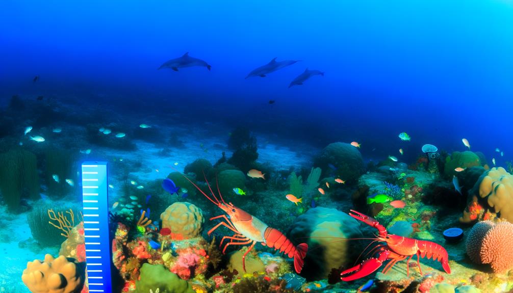
As you explore Jeffreys Ledge, you'll encounter a wealth of species diversity due to its unique bottom characteristics of rocky areas, gravel, pebbles, and mud.
You'll find a diverse range of marine life, from cod and haddock to wolffish and lobsters, thriving in this environment.
It's crucial to note the importance of ongoing conservation efforts to protect this rich marine ecosystem and the factors that influence it.
Species Diversity
Diving into the marine life at Jeffreys Ledge, you'll discover a vibrant spectrum of species such as cod, haddock, pollock, wolffish, and cusk, illustrating its status as a significant fishing ground in the Gulf of Maine. This species diversity is shaped by the distinct bottom characteristics of the Ledge, which range from rock-strewn areas to muddy terrains. These habitats support different fishing methods, thereby contributing to the variety of species.
In particular, the Ledge is home to:
- The Helgoland saturation habitat,
- Sanctuary Hill, and
- Numerous shipwrecks.
These environments foster a rich and diverse marine ecosystem, enhancing the species diversity.
Conservation Efforts
In the quest to protect the diverse marine life at Jeffreys Ledge, several conservation efforts are underway, focusing on the preservation of abundant fish species like cod, haddock, pollock, wolffish, and cusk through sustainable fishing practices and habitat conservation. The National Marine Fisheries Service and partners like the University of New Hampshire have led efforts in research and policy implementation.
Take a look at the table below to understand the impact of these efforts:
| Conservation Efforts | Impact |
|---|---|
| WGOM Closure area | Safeguard groundfish stocks and their habitat |
| High-resolution bathymetry | Understand the marine environment |
| Surficial sediment mapping | Aid in conservation decision-making |
| Seafloor sediment classification | Informed conservation strategies |
| Identification of marine features | Protect biodiversity and ecosystems |
Importance in Marine Research
You'll find Jeffreys Ledge, a key research area approximately 50 km off the coast of New Hampshire, playing a significant role in marine research due to its rich biodiversity and considerable impact on the region's fishing industry. This underwater plateau, similar in ecology to the nearby Stellwagen Bank, is a critical habitat for various marine species. It also provides essential data for scientists studying ocean biodiversity and fishing activity.
The importance of Jeffreys Ledge is based on:
- The University of New Hampshire Center for Coastal and Ocean Mapping (CCOM) used advanced technology such as high-resolution multibeam echosounder (MBES) surveys to study the area's bathymetry and surficial sediment.
- The studies conducted by Larry Ward and Paul Johnson, who are key contacts for marine research on Jeffreys Ledge, are vital for understanding the effect of the WGOM closure on bottom habitats.
- The closure of the western Gulf of Maine (WGOM) area, which includes Jeffreys Ledge, aims to protect groundfish stocks and habitat.
Thus, Jeffreys Ledge isn't just a geographical feature; it's a hotspot for marine research, contributing to conservation efforts and sustainable fishing practices.
Jeffreys Ledge and Diving
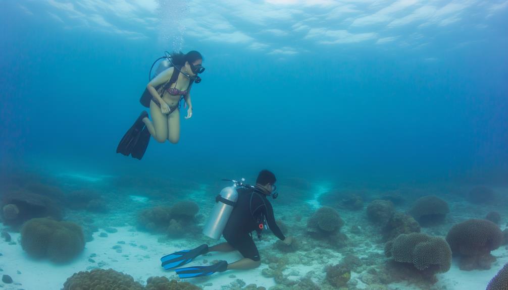
As you venture beneath the surface at Jeffreys Ledge, you'll encounter a vibrant underwater ecosystem that's both scientifically intriguing and visually captivating.
However, due to the varying depths and marine conditions, it's crucial to adhere strictly to safety precautions.
The exploration of the aquatic life and adherence to safety norms will significantly enhance your underwater experience at Jeffreys Ledge.
Exploring Underwater Life
Dive into the rich underwater world of Jeffreys Ledge, located roughly 50 km off the New Hampshire coast, and you'll discover a diverse marine ecosystem teeming with life. As you descend into the 14 miles stretch of the ledge, you'll encounter a variety of species that call the Gulf of Maine their home.
Below are three remarkable things you'll witness:
- The ledge is a renowned haddock ground, where you'll find these species in abundance.
- The ledge rises nearly 500 feet, creating a unique underwater landscape.
- Diverse marine flora and fauna decorate the ledge, providing a visual feast for divers.
Exploring underwater life at Jeffreys Ledge offers you a sense of belonging, connecting you with the wonders of the marine world.
Safety Precautions for Divers
While the marine wonders of Jeffreys Ledge can captivate any diver, it's crucial to remember the significant safety precautions required for such an offshore dive.
Dive planning should take into account the fact that Jeffreys Ledge is located far offshore, meaning that weather conditions can be unpredictable, and assistance may not be immediately available in the event of an emergency. Therefore, it's essential to have contingency plans in place.
You should always dive with a buddy and carry a dive flag to alert other vessels of your presence below the surface. Regular checks of your equipment, particularly your buoyancy compensator and regulator, are vital.
Weather Conditions and Safety
Before setting sail for Jeffreys Ledge, it's crucial that you check the weather forecast and marine conditions to prepare for any potential strong westerly currents, especially during heavy easterly winds. The Ledge, miles long, is known for its unpredictable weather patterns that can drastically change while you're offshore.
Ensure you're well-equipped to navigate these waters safely. This includes:
- Keeping an eye on weather updates, as conditions can shift rapidly.
- Having essential safety gear onboard, such as life jackets, communication devices, and emergency supplies.
- Adhering to local regulations and restrictions, like the closure area, to maintain compliance and safety.
Weather conditions and safety measures aren't just about compliance; they're integral to your overall experience at Jeffreys Ledge. By being prepared, you'll feel more secure and confident during your journey.
Staying informed and vigilant ensures not only your safety but also contributes to the preservation of this unique marine ecosystem. Remember, you're not just a visitor to these waters; you're a part of the community that cherishes and protects them.
Conservation Efforts on the Ledge
In understanding the conservation efforts on Jeffreys Ledge, you must first consider the influence of the Western Gulf of Maine (WGOM) Closure area, established in 1998, which significantly shapes the strategies to protect the groundfish stocks and habitat. This closure area, a cornerstone of marine conservation, is central to the preservation of Jeffreys Ledge's fragile ecosystem.
The University of New Hampshire's Center for Coastal and Ocean Mapping (CCOM) plays a pivotal role in these efforts, conducting high-resolution bathymetry and surficial sediment mapping. This data provides invaluable insight into habitat conditions and changes. Researchers like Larry Ward and Paul Johnson, affiliated with the University, utilize this data to assess the impact of the WGOM closure on bottom habitats.
Additionally, the development and application of seafloor sediment classifications, based on visual inspections and grain size estimation, are integral to the conservation strategy on Jeffreys Ledge. These classifications contribute to a deeper understanding of the marine ecosystem's complexity and diversity.
Lastly, it's crucial to highlight the importance of collaboration between scientists and fishermen. Their unified efforts foster sustainable fishing methods, ensuring the long-term preservation of species diversity on Jeffreys Ledge.
Unique Features of Jeffreys Ledge
Building on the conservation efforts, let's explore the unique features of Jeffreys Ledge that not only contribute to its ecological importance but also shape its role as a significant fishing ground in the Gulf of Maine.
You might be intrigued to learn that this underwater plateau, located about 31 miles off the coast of New Hampshire, extends over 62 miles from Cape Ann to its southern end. The ledge varies in width, but it's typically a few miles wide. This vast expanse is sculpted by the forces of fluvial erosion, glaciations, sea-level fluctuations, and marine processes.
Now, let's delve into the details of its unique features:
- The terrain is diverse, marked by rocky areas, gravel and pebbles which offer various habitats for marine life.
- The depths range from 27 to 50 fathoms, further diversifying the habitats.
- The ledge is home to an array of marine species, including cod, haddock, pollock, wolffish, and cusk.
These features not only make Jeffreys Ledge a vibrant ecological hub but also a valuable fishing area. So, you see, it's more than just a submerged sandbank; it's a thriving, dynamic marine landscape.
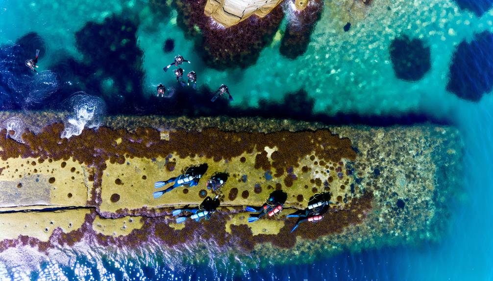
Exploring Nearby Underwater Sites
Venturing beyond the boundaries of Jeffreys Ledge, you'll find a plethora of other captivating underwater sites that warrant exploration. This region, shaped by fluvial erosion, glaciations, and sea-level fluctuations, offers a rich tapestry of marine habitats.
Consider the high-resolution bathymetry studies conducted by the University of New Hampshire Center for Coastal and Ocean Mapping (CCOM). These studies cover an 18.5 by 27.8 km area on Jeffreys Ledge, offering a deeper understanding of the seafloor's topography. These maps, combined with surficial sediment maps, provide a detailed look at the underwater terrain and sediment layers, vital components of marine ecosystems.
Furthermore, Larry Ward and Paul Johnson, both affiliated with the University of New Hampshire, offer invaluable insights into coastal and ocean mapping. Their expertise can guide you through the intricate details of these underwater sites and their significance.
All this knowledge not only enriches your understanding but also deepens your sense of connection to the ocean's hidden treasures. So, don't limit yourself to Jeffreys Ledge. There's a whole world beneath the waves waiting for you to discover.
Frequently Asked Questions
How Far off the Coast Is Jeffreys Ledge?
You're about to embark on a ledge exploration! Jeffreys Ledge is roughly 50 km offshore, off the coast of New Hampshire. So, prepare yourself for an adventure that's a decent distance from land.
Why Is It Called Jeffreys Ledge?
It's called Jeffreys Ledge after British naval officer John Jeffreys, who surveyed the area in the 1700s. This ledge's naming history reflects its maritime roots and the legacy of its discoverer.
Where Is Tantas Ledge in Maine?
You're wondering about Tantas Ledge in Maine. It's a vibrant part of the Gulf of Maine's ecosystem. Unfortunately, its exact location isn't as well-known as Jeffreys Ledge. Let's explore this mystery together.
Conclusion
In wrapping up, it's fascinating to know that Jeffreys Ledge, located just 50 km off the coast of New Hampshire, extends over a staggering 100 km.
This underwater marvel, teeming with marine life, offers invaluable research opportunities. Whether you're a diver, scientist, or simply an ocean enthusiast, its unique features, shaped by natural processes, make it a site worthy of exploration and conservation.
Remember, safety is crucial, so always consider weather conditions before venturing out.